
Initial Zoom and Center
Adjust map center and zoom level
File formats: SVG



Integrate Projection Offset into your Canada map on your website with GEO Map Hub. Customize, visualize, and enhance interactive maps for a seamless experience.
If you need to adjust the map's position, you can easily offset the latitude and longitude of the available projections to present the map with a different center point. This feature is particularly useful for displaying a world map focused on specific regions, such as centering it on Asia-Australia, as shown in the example below:

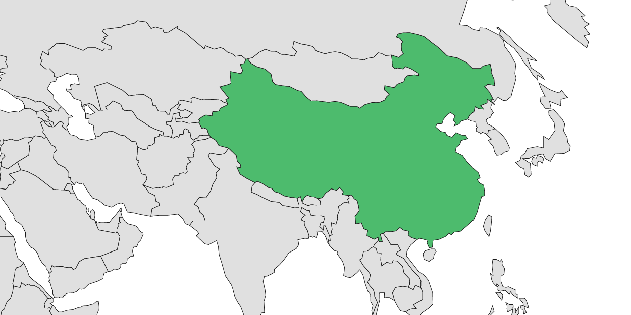
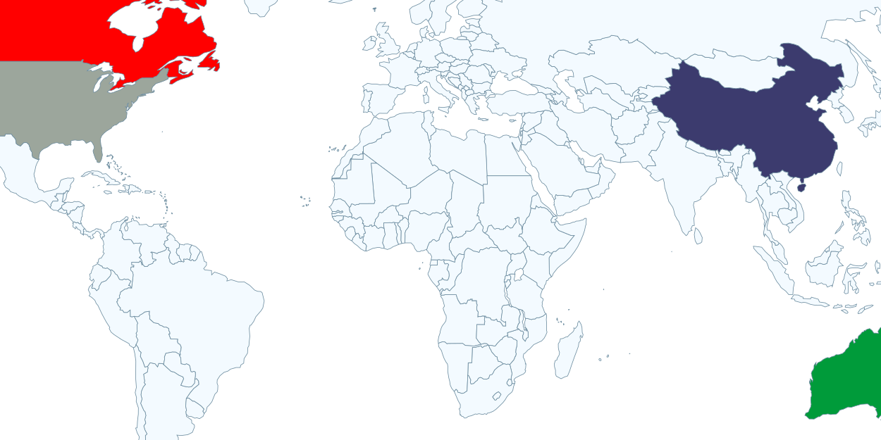
Adjust map center and zoom level
File formats: SVG
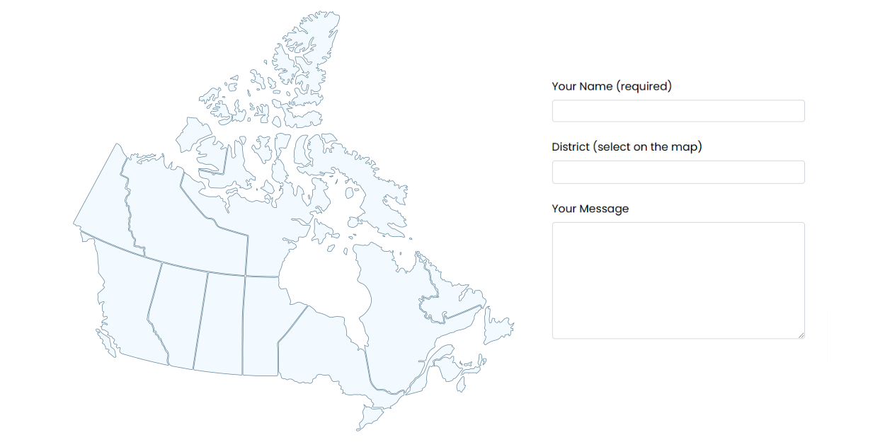
You can add custom JavaScript code that triggers when a region is clicked.
File formats: SVG
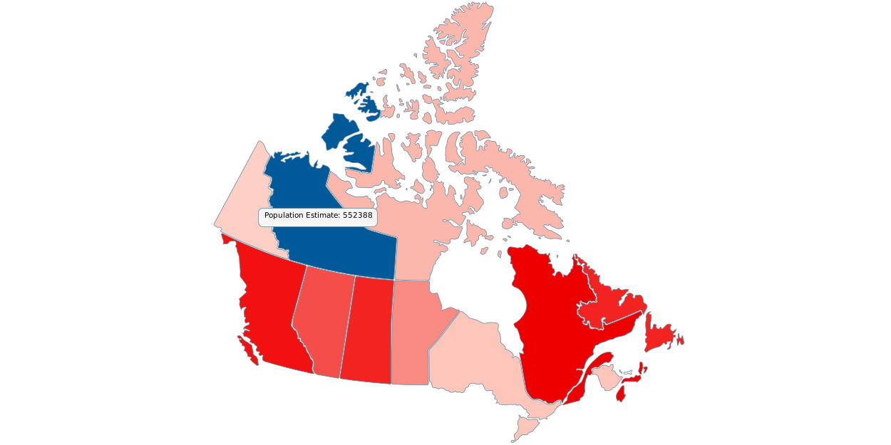
Automatically color countries or regions based on their values
File formats: SVG

Note
Login credentials will be sent to your email after you subscribe to any of the packages from our pricing plan.
Some features may not work in the preview.
Click here to explore the complete website.
Note: Login credentials will be sent to your email after you subscribe to any of the packages from our pricing plan.
GEO Map Hub uses cookies to ensure proper functionality and provide an enhanced user experience. By continuing, you consent to the use of all cookies. To learn more, read our Cookie Statement.