
Custom Image Markers
Utilize custom images for markers
File formats: SVG



Integrate Globe Projection into your France map on your website with GEO Map Hub. Customize, visualize, and enhance interactive maps for a seamless experience.
Have you ever wanted an interactive globe on your website? Experience a true view of the world without the distortions of common projections. The plugin allows you to select the 'Orthographic' projection to simulate a globe.
The maps become more realistic while preserving the aesthetic appeal of the other projections.
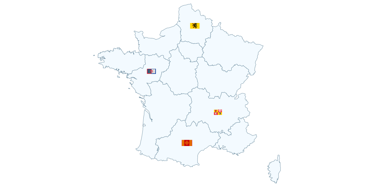
Utilize custom images for markers
File formats: SVG
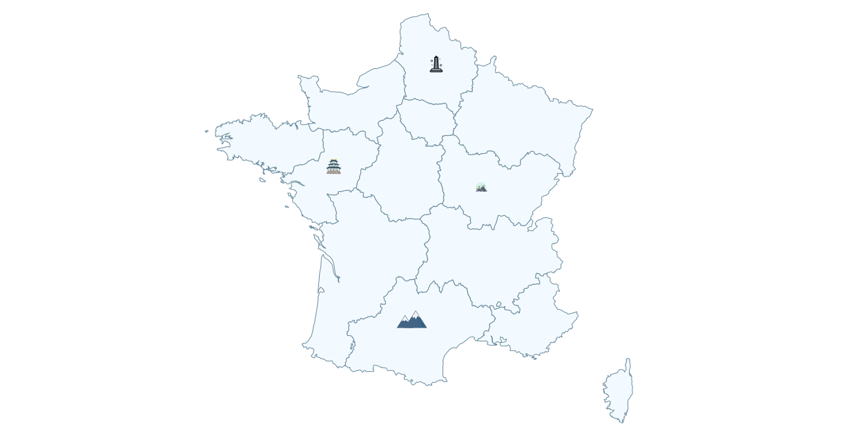
Utilize Built-in Vector Icons as Markers
File formats: SVG
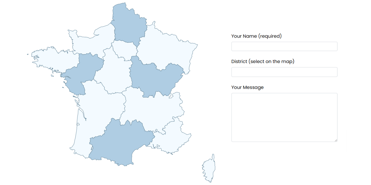
You can add custom JavaScript code that triggers when a region is clicked.
File formats: SVG

Note
Login credentials will be sent to your email after you subscribe to any of the packages from our pricing plan.
Some features may not work in the preview.
Click here to explore the complete website.
Note: Login credentials will be sent to your email after you subscribe to any of the packages from our pricing plan.
GEO Map Hub uses cookies to ensure proper functionality and provide an enhanced user experience. By continuing, you consent to the use of all cookies. To learn more, read our Cookie Statement.