
Add Colored Marker
Colored interactive round markers
File format: SVG


Discover GEO Map Hub's powerful features designed to enhance your mapping experience in Gibraltar. Enjoy seamless interactivity, customizable markers, and access to an extensive library of maps tailored to your needs.
Transform your projects with innovative tools that make geography come alive, offering precise and dynamic mapping solutions for Gibraltar and beyond.


Colored interactive round markers
File format: SVG

Choose a color for each specific region or country
File format: SVG

Place text labels anywhere on the map
File format: SVG

Add basic zoom controls to your map for easier navigation
File format: SVG

Export your map as an Image or PDF to use outside your website
File format: SVG

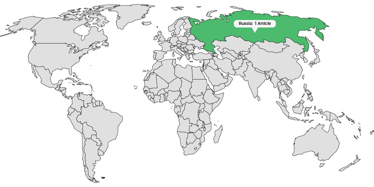
Interactive colored legend for live filtering
File format: SVG

Utilize custom images for markers
File format: SVG

Show a list of active entries that interact with the map
File format: SVG

Add a dropdown with a search feature to simplify the selection of regions and markers
File format: SVG

Apply the same tooltip and hover effect
File format: SVG

Automatically color countries or regions based on their values
File format: SVG

Automatically display labels below markers
File format: SVG

Incorporate lines with various colors and curvatures on the map
File format: SVG

Include a menu above or below the map to filter markers
File format: SVG

Click on markers or regions to display a lightbox with custom information.
File format: SVG

You can add custom JavaScript code that triggers when a region is clicked.
File format: SVG
Utilize Built-in Vector Icons as Markers
File format: SVG
This will undoubtedly add a fun and engaging touch to your maps.
File format: SVG

Show content below or beside the map
File format: SVG

Color countries on the world map
File format: SVG

Customize your map by uploading a background image
File format: SVG

Select specific regions to include or exclude
File format: SVG

Alter the appearance of the maps with different projections
File format: SVG

Adjust map center and zoom level
File format: SVG

Show tooltips when hovering over regions or markers
File format: SVG

All States Divided by Counties
File format: SVG
Colored interactive round markers
File format: SVG
Choose a color for each specific region or country
File format: SVG
Place text labels anywhere on the map
File format: SVG
Add basic zoom controls to your map for easier navigation
File format: SVG

Show a more detailed map when a region is clicked
File format: SVG

Show an interactive globe using the Orthographic projection
File format: SVG
Colored interactive round markers
File format: SVG
Export your map as an Image or PDF to use outside your website
File format: SVG
Interactive colored legend for live filtering
File format: SVG
Utilize custom images for markers
File format: SVG
Show a list of active entries that interact with the map
File format: SVG
Add a dropdown with a search feature to simplify the selection of regions and markers
File format: SVG
Apply the same tooltip and hover effect
File format: SVG
Automatically color countries or regions based on their values
File format: SVG
Automatically display labels below markers
File format: SVG
Incorporate lines with various colors and curvatures on the map
File format: SVG
Include a menu above or below the map to filter markers
File format: SVG
Click on markers or regions to display a lightbox with custom information.
File format: SVG
Choose a color for each specific region or country
File format: SVG
Place text labels anywhere on the map
File format: SVG
You can add custom JavaScript code that triggers when a region is clicked.
File format: SVG
Utilize Built-in Vector Icons as Markers
File format: SVG
This will undoubtedly add a fun and engaging touch to your maps.
File format: SVG
Add basic zoom controls to your map for easier navigation
File format: SVG
Show content below or beside the map
File format: SVG
Color countries on the world map
File format: SVG
Customize your map by uploading a background image
File format: SVG
Select specific regions to include or exclude
File format: SVG
Alter the appearance of the maps with different projections
File format: SVG
Adjust map center and zoom level
File format: SVG
Show tooltips when hovering over regions or markers
File format: SVG
All States Divided by Counties
File format: SVG

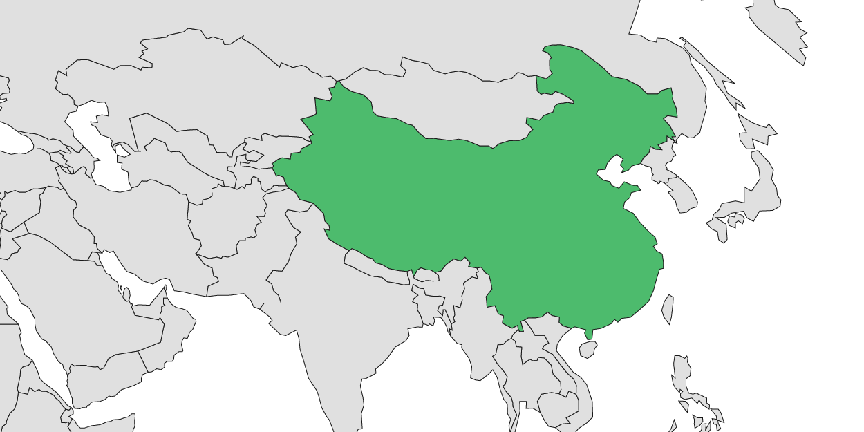
Show a single country on the map
File format: SVG

Show multiple regional maps within a single map
File format: SVG

Cluster markers for close groupings
File format: SVG
Adjust the center point of the projection
File format: SVG
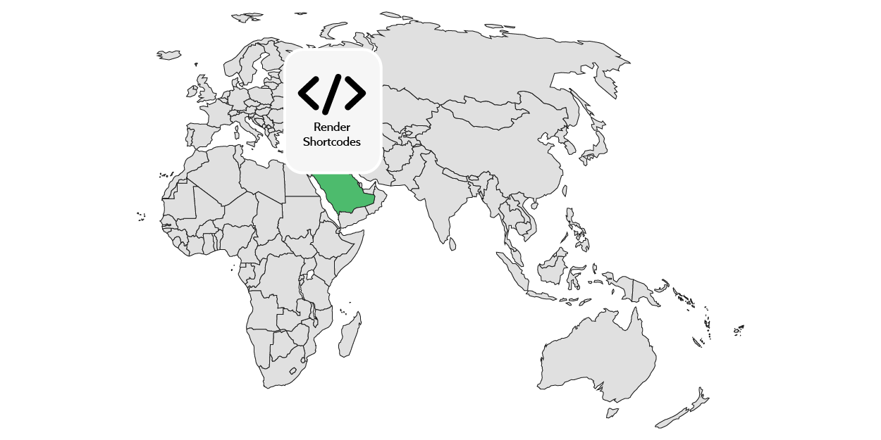
Enable shortcodes in tooltips and content to showcase information upon clicking
File format: SVG
Utilize post categories or tags to automatically fill the map
File format: SVG

Note
Login credentials will be sent to your email after you subscribe to any of the packages from our pricing plan.
Some features may not work in the preview.
Click here to explore the complete website.
Note: Login credentials will be sent to your email after you subscribe to any of the packages from our pricing plan.
GEO Map Hub uses cookies to ensure proper functionality and provide an enhanced user experience. By continuing, you consent to the use of all cookies. To learn more, read our Cookie Statement.